The explorer
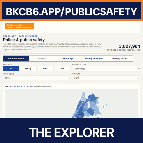

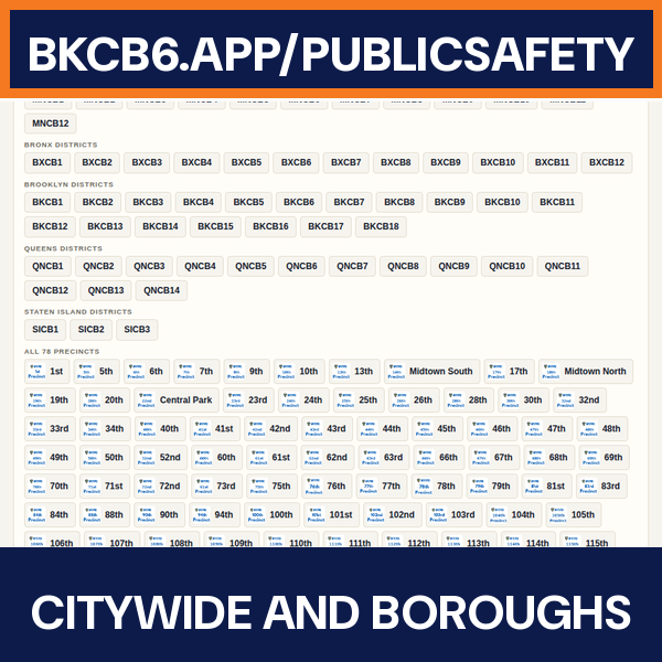
Start here. Each one opens onto the next set of buttons, down to any of the 59 community districts, 78 precincts or 303 patrol sectors.
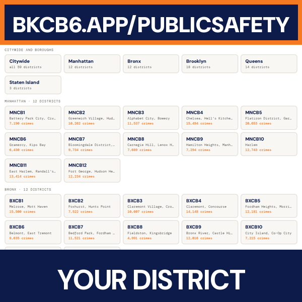
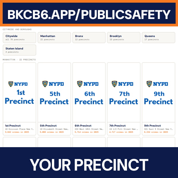
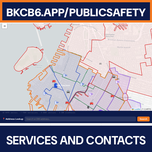
Precincts were drawn by the Police Department. Community districts were drawn by the City Planning Commission. Neither was drawn with the other in mind, and they do not line up.
CB6 is the plain case. The 76th Precinct covers 56.2% of the district, and 99.4% of that precinct sits inside it. The 78th covers the other 43.4%, but only 54.7% of the 78th is in CB6 at all. So a 78th Precinct number is roughly half about Park Slope outside our lines.
That is why every figure on this site says which boundary it was cut to. District pages are cut to the district. Precinct pages are cut to the precinct. Both carry the overlap in both directions, so you can see how much of the district a precinct covers and how much of that precinct is even in the district.
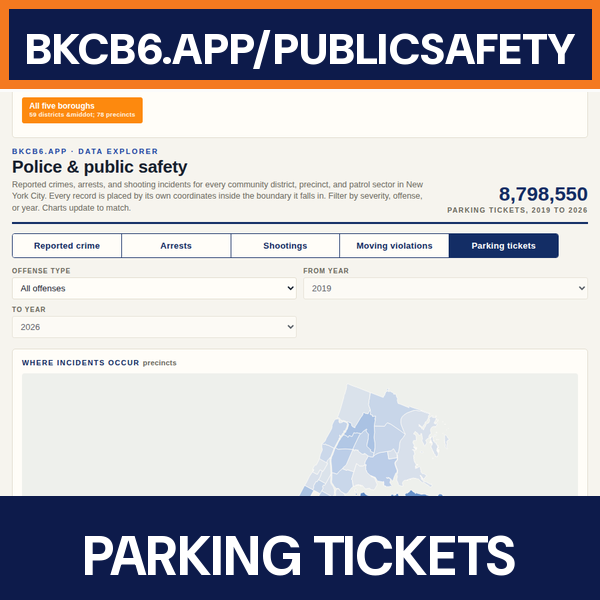
Parking is the exception, and an honest one. The city publishes parking tickets by precinct with no coordinates at all, so they cannot be cut to a district. Where a district page shows parking, it is the combined precinct totals and says so.
The explorer — Reported crime, arrests, shootings, moving violations and parking tickets. Pick any borough, community district, precinct or patrol sector. Filter by severity, offense and year.
District pages — One for each of the 59 districts. All five datasets, plus which precincts patrol it and how much of it each one covers.
Precinct pages — One for each of the 78 precincts. Commanding officer, address, all seven phone lines, patrol sectors, and the same five datasets.
Citywide and borough pages — The whole city and each borough, same five datasets, with buttons down to every district and precinct.
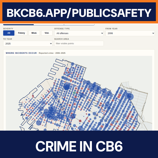
Crime and arrests in CB6 — The deeper CB6 cut, 2006 to 2025, down to individual incidents.
Parking tickets — What was ticketed, what was fined, what was collected and what is still owed, by precinct.
Services and contacts — Precinct and sector map with the numbers to call.