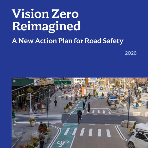
Twelve years ago New York decided that people dying in traffic is a choice, not an accident. Vision Zero was launched in 2014 under Mayor Bill de Blasio, a Park Slope resident of this district. Since then the city has cut the speed limit to 25 mph, put cameras in school zones and rebuilt hundreds of streets, and traffic deaths have fallen to record lows. 210 people were still killed last year.
On September 15, 2026 the Mayor’s Office published Vision Zero Reimagined, a ten-year plan with eight goals and 111 actions. Read next to what this board has voted for since 2010, the overlap is hard to miss. One thing is still missing, and it is the thing CB6 has asked for four times: universal daylighting.
Read more
CB6 has been in this fight the whole time, and often early. The board backed a neighborhood slow zone before Vision Zero existed, voted 33 to nothing for the 25 mph bill months before it became law, asked the city to obey the state daylighting rule two years before the Council took it up, and passed a district-wide 20 mph slow zone six months before the Mayor’s plan proposed neighborhood 20 mph zones. Sammy’s Law carries the name of a child killed on Prospect Park West.
The plan now commits to hardened daylighting, 20 mph zones, curb management and loading zones, protected bike lanes on priority corridors and accountability for delivery platforms. Those are CB6 positions, already voted, now city policy. What it does not do is end the city exempting itself from the state rule that keeps parked cars 20 feet back from a crosswalk.

On this page
Court Street is safer since the bike lane
The lane went in autumn 2025, the project CB6 voted to support that June. October 2025 through June 2026 against the same months a year earlier, on the redesigned stretch. Pedestrian, cyclist and driver injuries all fell.
The corridors and intersections DOT has singled out here
Four priority corridors, three priority intersections
 NYC DOT Vision Zero
What happened on these streets, 2014 to today
Twelve years of crashes
Where people were killed
The intersections with the most people hurt
What DOT has installed here
 Vision Zero View, NYC DOT
Camera tickets and 311 complaints
Enforcement, and what people complain about
What CB6 asked for, and where the plan answers
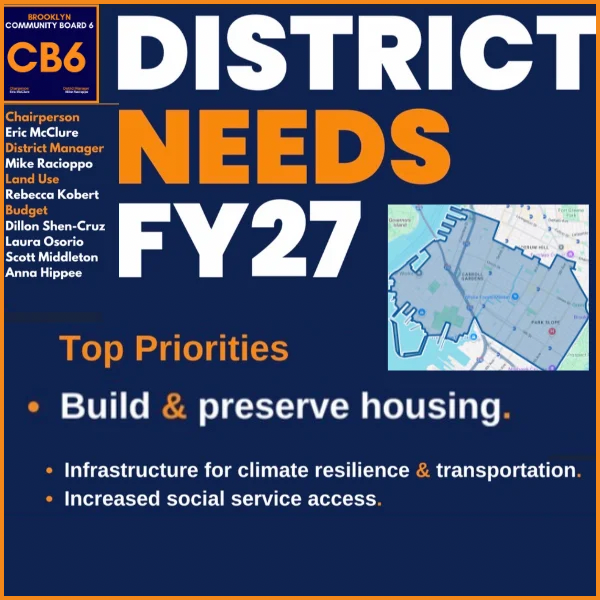
The FY27 Statement of District Needs, next to the plan
The timeline: Vision Zero, and where CB6 got there first
Twelve years, side by side
City milestones in navy, CB6 votes in orange. Tags mark where the board asked first.
NYC DOT, Mayor’s Office and CB6 votesCB6’s record: what the board has voted for since 2010
CB6 positions over the years
Sixteen years, %COUNT% votes, one direction of travel. What the board asked for in 2010 and what it asks for now are recognizably the same argument, made with steadily sharper tools.
2010 to 2013, one intersection at a time. %E1% of these votes fall in the first four years, and nearly all of them are a single corner, a single block, a single corral: Grand Army Plaza, Bartel-Pritchard Square, a bike corral outside a shop on 5th Avenue, pedestrian ramps and granite curbs to go with the Prospect Park West median islands. The board asked DOT for a pedestrian safety plan where Atlantic Avenue, Columbia Street and Furman Street meet at Pier 6. It backed the Boerum Hill Neighborhood Slow Zone in 2012, the first time it voted to slow a whole area rather than fix one crossing. Nothing about this era was smooth: the 4th Avenue redesign was disapproved outright in June 2013 and approved with conditions a month later.
2014 to 2019, the corridor years. Vision Zero arrived and the board voted for the state bill that dropped the citywide speed limit to 25 mph, 33 to nothing. From there the unit of work got bigger: the 4th Avenue median reconstruction, protected bike lanes on 4th Avenue with a demand that DOT extend them north to Bergen and Dean, the 7th Avenue lane, the Gowanus Greenway Connector on Hamilton Avenue, ADA plans demanded from NYC Transit for four stations. In March 2018 the board wrote to the Mayor and DOT asking for safety measures along the whole 9th Street corridor.
2020 to today, the rules themselves. The most recent votes are less about a project in front of the board and more about the rules that govern every street: Van Brunt Street out of the truck route network in 2020; opting the city back in to the state law keeping parked cars 20 feet off an intersection in 2023, then hardened daylighting at every intersection in 2025; the Court Street redesign supported with a list of conditions that reads like this plan’s own toolkit, concrete curbs instead of plastic, 15 to 20 mph, leading pedestrian intervals, loading zones; a Gowanus Low Traffic Neighborhood; an end to criminal summonses for delivery cyclists; and in 2026 a district-wide 20 mph slow zone under Sammy’s Law and a call to move parking enforcement out of the NYPD and back to DOT.
Two of those, hardened daylighting and 20 mph zones, are now marquee commitments in the Mayor’s plan. The board got there first.
What the plan commits to
Eight goals, eleven marquee actions
Vision Zero Reimagined, 2026The eight goals
Every action in the plan, in full: all 111
Every action, in full
Action Plan List, 2026What the shorthand means
- Vision Zero
- The city’s commitment, since 2014, to eliminate traffic deaths and severe injuries. Vision Zero Reimagined is the 2026 action plan renewing it, with eight goals and 111 actions across 19 agencies.
- Priority Corridor, Priority Intersection
- Streets and intersections DOT has singled out for safety work because of their crash history: 199 corridors and 304 intersections citywide.
- Daylighting
- Keeping the corners of an intersection clear of parked cars so drivers and people crossing can see each other. Hardened daylighting adds something physical, such as a planter, bollard or bike corral, so it cannot be parked on.
- LPI
- Leading Pedestrian Interval. The walk signal comes on a few seconds before the light turns green for drivers.
- Sammy’s Law
- The 2024 State law that let the city set speed limits below 25 mph, named for Sammy Cohen Eckstein, killed by a driver on Prospect Park West in 2013. The city is putting 15 mph School Slow Zones at every eligible school and the plan proposes 20 mph zones across whole neighborhoods.
- ISA
- Intelligent Speed Assistance, a device that reads the speed limit and keeps a vehicle from exceeding it. The Super Speeder program will require it for drivers with 16 or more speed camera violations in a year.
- Major Violator
- The plan’s term for a driver in a hit and run, or without a valid license, or with three or more prior convictions, a prior suspension or a DWI. Involved in 52 percent of traffic deaths in 2025.
- Killed, injured
- From the NYPD crash reports on NYC Open Data, crashes with at least one person hurt, placed inside CB6 by the crash coordinates.
About the maps, and why streets and housing go together
Street safety and housing are connected. Building more homes increases density, and density requires better and more environmentally sound ways to move people. That is why pro-housing and safe streets coalitions usually align, and why a bus stop, a bike lane and a rezoning belong in the same conversation.
Every line and point here was clipped to Department of City Planning community district boundaries before it was counted, because agency boundary fields are frequently wrong. A segment counts in the district it actually sits in.