

Friends of Fort Defiance is a grassroots organization exploring Red Hook histories in dialogue with the future. Formed in December 2024, the group researches the Revolutionary-era redoubt named Fort Defiance, designs a modular system for neighborhood-wide flood mitigation, and has drawn up a concept called Fort Defiance Park: a resiliency hub with a historic park overlay and an urban industrial campus.
The natural fortifications that once held back the British armada are now needed to hold back future floodwaters in Red Hook. Friends of Fort Defiance is fiscally sponsored by the Open Space Institute through its Citizen Action Program.
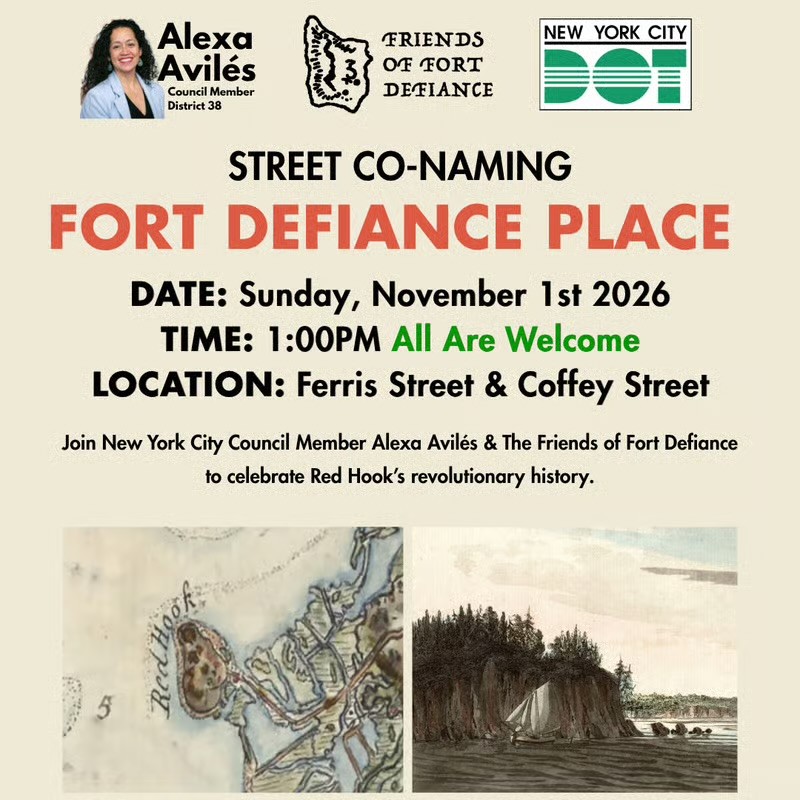
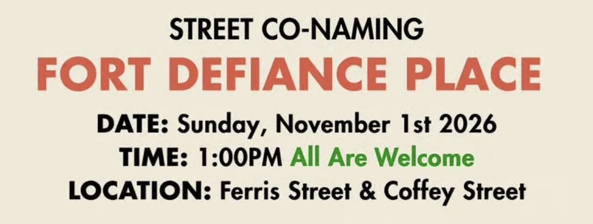
Council Member Alexa Avilés and Friends of Fort Defiance unveil the Fort Defiance Place sign at Louis Valentino, Jr. Park and Pier, Ferris and Coffey Streets. Coffey Street between Ferris Street and the piers was co-named Fort Defiance Place by Local Law 125 of 2026, approved by the City Council on June 30 and in effect since July 30.
Archaeological findings and significant source materials about Fort Defiance, Red Hook Lane and the defense of New York Harbor in the campaign of 1776, on the sidewalk at 160 and 169 Coffey Street in Red Hook. Part of Brooklyn250.
Fort Defiance 250. Friends of Fort Defiance is one of six partners leading Brooklyn250, the borough-wide commemoration of the 250th anniversary of the Battle of Brooklyn, alongside Green-Wood Cemetery, the Old Stone House, Brooklyn Public Library’s Center for Brooklyn History, Prospect Park Alliance and Fort Greene Park Conservancy. Brooklyn250 brings the Revolutionary history to life with free tours, exhibitions, performances, reenactments, panel discussions, book talks, family programs and a collectible then-and-now pamphlet and map, supported by $350,000 in state funding championed by Assemblymember Robert Carroll, Assemblymember Jo Anne Simon and State Senator Andrew Gounardes.
Fort Defiance 250 events so far. April 8, 2026: A Rebirthday Celebration of the Fort Named Defiance. May 21: The Tides of History, Fort Banter and the Climate Justice Action Plan in conversation, at the Waterfront Museum with Resilient Red Hook. August 22: Put Red Hook on the Historical Map, a panel at Valentino Park moderated by Greg Young of The Bowery Boys and co-presented with the Red Hook Business Alliance.
Fort Defiance Place. Coffey Street between Ferris Street and the piers, the block that ends at Louis Valentino, Jr. Park and Pier, was co-named Fort Defiance Place by Local Law 125 of 2026, approved by the City Council on June 30, 2026 and in effect since July 30. Council Member Alexa Avilés sponsored the co-naming. The official street name stays Coffey Street.
Fort Defiance Street Museum. Sidewalk galleries at 160 and 169 Coffey Street present archaeological findings and significant source materials about Fort Defiance, Red Hook Lane and the defense of New York Harbor in the campaign of 1776. Open between sunrise and midnight.
Three concepts. Fort Defiance Park, a resiliency hub with a historic park overlay and an urban industrial campus, drawn for an empty site that was part of a public visioning process (Friends of Fort Defiance is not affiliated with the site owners); the Stormbreaker Network, a modular design system for neighborhood-wide flood mitigation; and Liberty Forest, a meandering urban forest connecting Brooklyn Bridge Park and Fort Defiance Park through the Brooklyn Marine Terminal.
History. A growing collection of maps, paintings, writings and overlays on Red Hook’s natural, industrial and revolutionary histories, from the 1766 Montresor map of Red Hook and Governors Island to a 2024 topographic change analysis for Fort Defiance by Eymund Diegel, plus two cannonballs found in a neighbor’s backyard that the group is working with a scientist to attribute to the fort.
Engage. Friends of Fort Defiance tables at events to keep developing the concepts in community, takes volunteers, and invites feedback or new ideas drawn on their template.