

Land Use, Mapped
Third tool: bkcb6.app/landusemap. Every lot in the city, colored three ways. Land use is what’s actually there: one- and two-family homes, walk-ups, elevator buildings, commercial, industrial, parks. Zoning is what the code allows there. Use groups is the finer grain of the zoning, the categories that decide whether a storefront can be a bar, a clinic, or a warehouse.
You can look at it by community board, by council district, by neighborhood, by borough, or the whole city at once. Set it to zoning and community boards and you can see, in one screen, why CB6 looks the way it does: the manufacturing zones along the canal and the waterfront, the low-rise residential blocks behind them, and the commercial corridors stitched through.
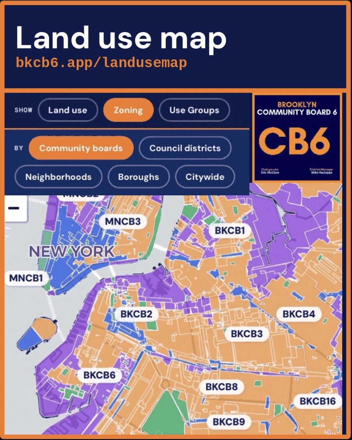
When a rezoning or a variance comes to the board, this is the map I’m looking at. Now it’s the map you can look at too.
Open the Land use map → · The Use of Land Hub
Mike Racioppo, District Manager
Brooklyn Community Board 6 · 250 Baltic Street, Brooklyn, NY 11201
Mike@bkcb6.org