Speed Limits
 🛣Speed LimitsPosted, with school zones
Street safety and housing are connected. Building more homes increases density, and density requires better and more environmentally sound ways to move people. That is why pro-housing and safe streets coalitions usually align, and why a bus stop, a bike lane and a rezoning belong in the same conversation.
CB6 has a particular stake in this. Sammy's Law, which gave New York City the authority to lower speed limits below the state minimum, was named for a child killed by a speeding driver in this district. The Court Street protected bike lane, which CB6 voted unanimously to support, drew a lawsuit that a Brooklyn Supreme Court judge dismissed, holding that decisions about how city streets are used are policy questions for elected and accountable officials rather than the courts.
Every line and point here was clipped to Department of City Planning community district boundaries before it was counted, because agency boundary fields are frequently wrong. A segment counts in the district it actually sits in.
Each tile opens the map with that layer already on. Set the area first and every tile follows it.
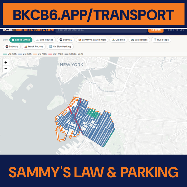 🏫Sammy's Law & ParkingCB6 school zones and ASP🛣Speed LimitsPosted, with school zones
 🚲Bike RoutesProtected, buffered, greenway
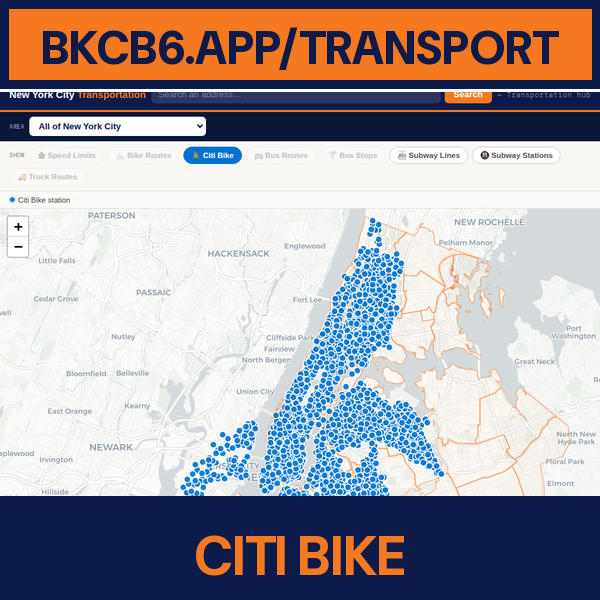 🚴Citi BikeEvery dock in the system
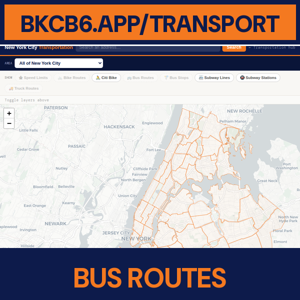 🚌Bus RoutesLocal, limited, SBS, express
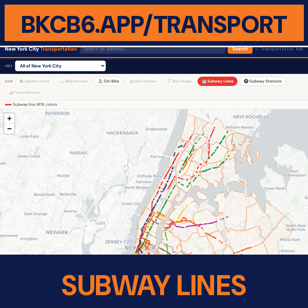 🚈Subway LinesIn MTA route colors
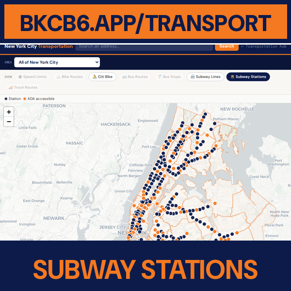 🚇Subway StationsWith ADA status
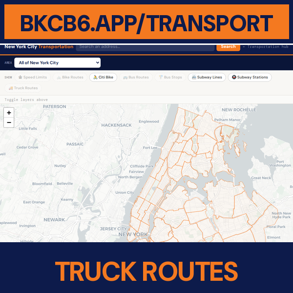 🚚Truck RoutesThrough and local
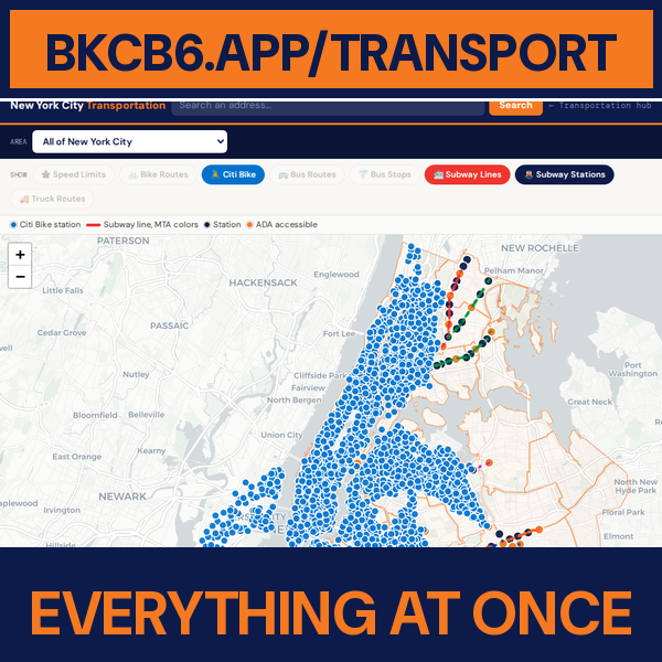 🗺Everything At OnceAll layers on one map
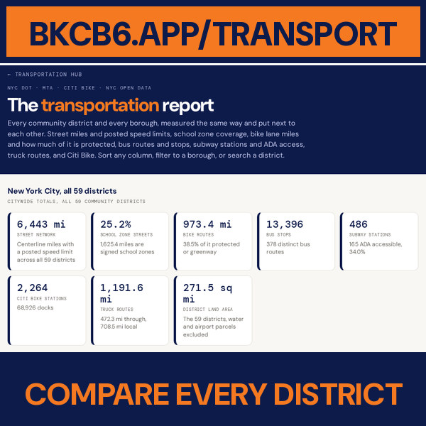 📊Compare Every DistrictAll 59 and five boroughs
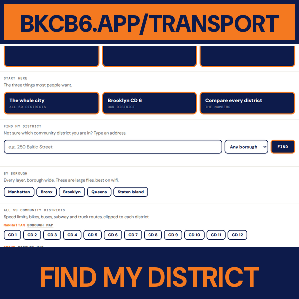 📍Find My DistrictSearch an address
The three things most people want.
Not sure which community district you are in? Type an address.
Every layer, borough wide. These are large files, best on wifi.
Speed limits, bikes, buses, subway and truck routes, clipped to each district.