Block by block

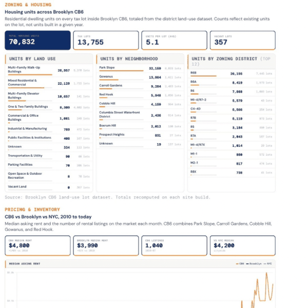
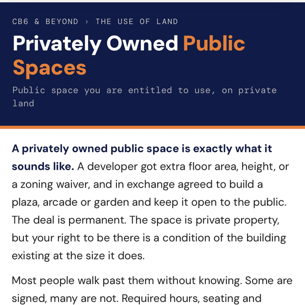
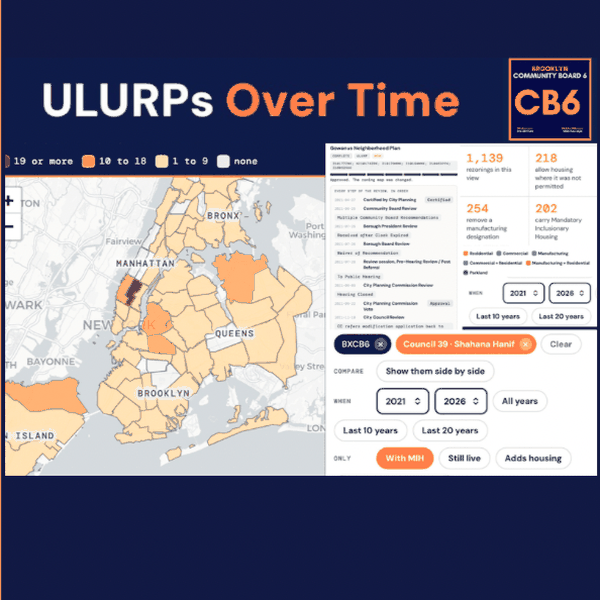
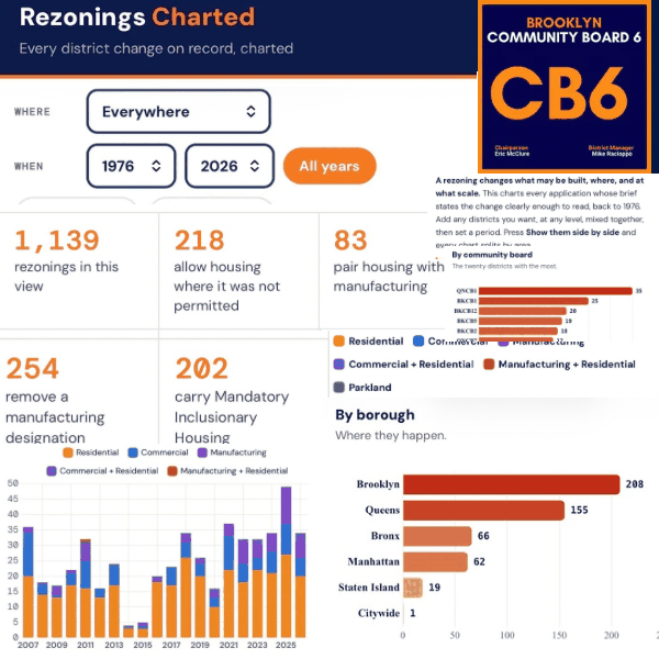
The use of land (more commonly land use, but I’m hoping you notice) is about who gets what, when, and how. What can be built, where, at what scale, and for whom is settled years before anything goes up, in applications most people never see.
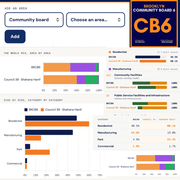
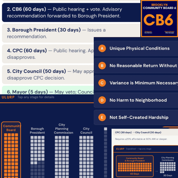
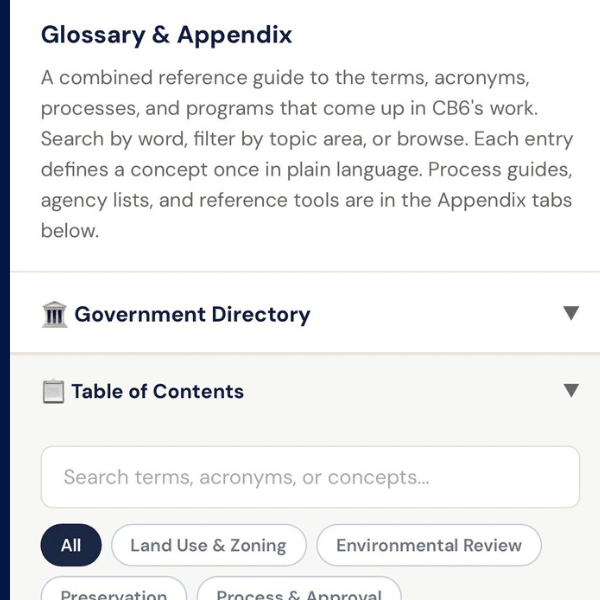
So I put everything I’ve built for reading that record in one place. I’ll be adding to it, but let me know what you think. Also, if anyone is a non-iPhone user who would be interested in demoing the app so that it can be in the Google Play Store, let me know. —Mike Racioppo
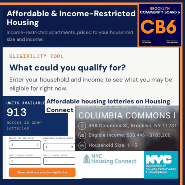
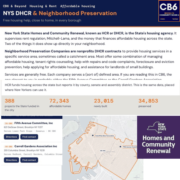
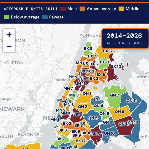
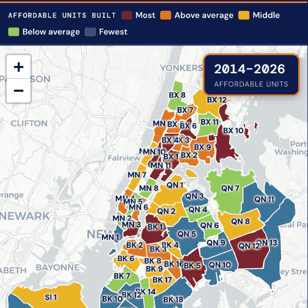
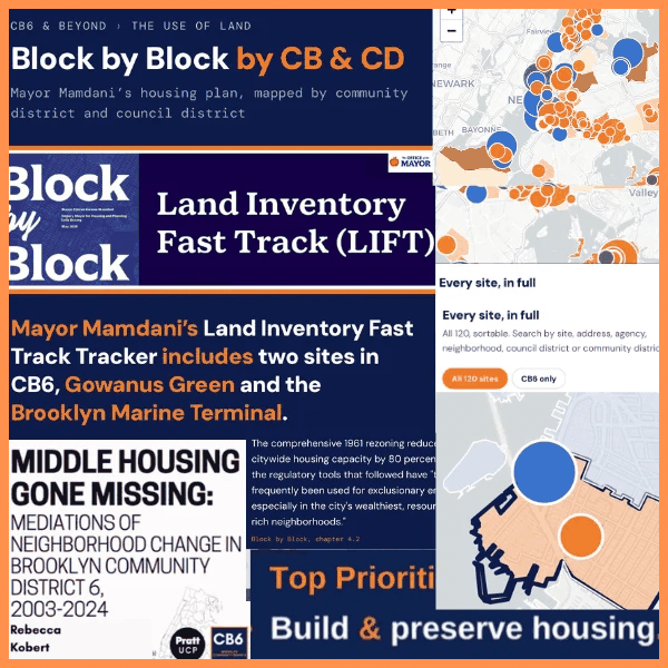
The Mayor’s Block-by-Block plan lines up with what this board has been saying for years. Our Statement of District Needs opens every year on the same premise: budgets are moral documents, and politics is who gets what, when, and how. Building and preserving housing has been our top priority year over year. Our district needs assessments and our, unfortunately former, Land Use pro Rebecca Kobert’s Middle Housing Gone Missing are recommended reading.
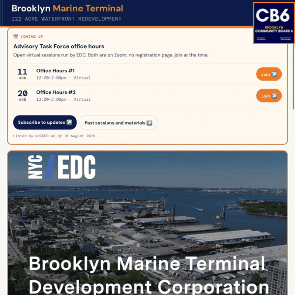
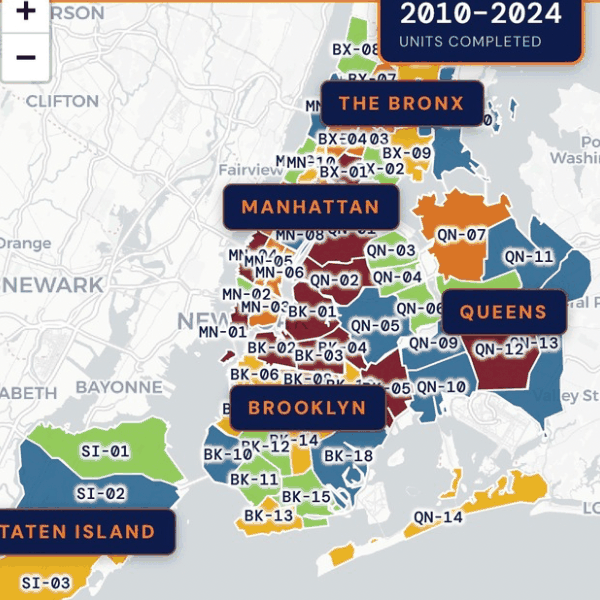
The plan’s Land Inventory Fast Track identifies 120 city-owned sites for 50,970 homes. Two are in CB6: Gowanus Green at 435 Hoyt Street, and the Brooklyn Marine Terminal at 24-64 Kane Street. There is real appetite to add more. 250 Baltic Street and the floors above the CB6 office are both candidates, and neither would require a zoning change.
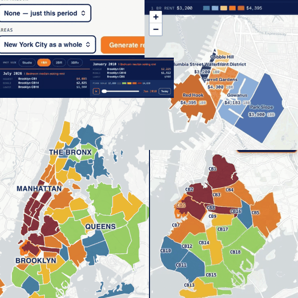
Advising on policy well means starting from what is actually there. So the rent tools carry every StreetEasy listing since 2010, sixteen years of it. Play the timeline and watch rent move month by month in any neighborhood, community board, council district or borough.
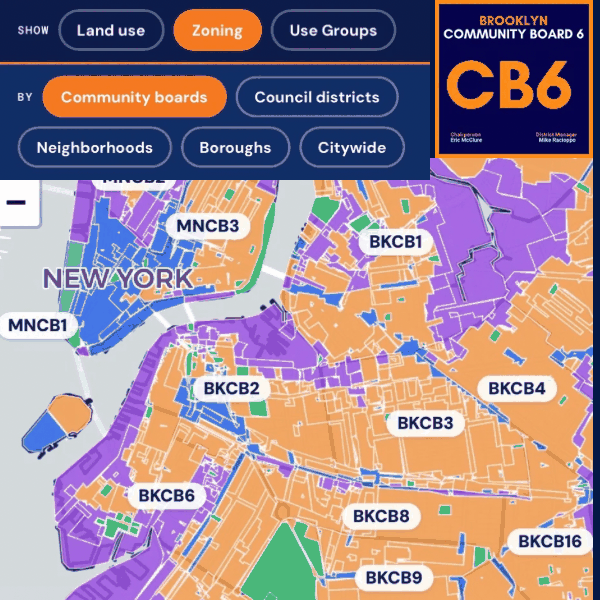
Twenty tools, all public data, covering 59 community districts, 51 council districts and 388 neighborhoods.